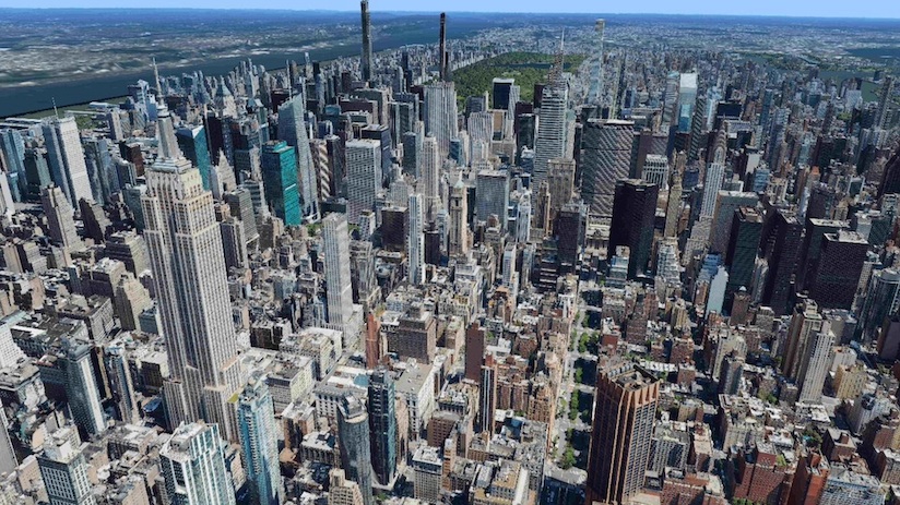
Nasdaq-listed digital reality company Hexagon has begun offering digital twins of entire cities as off-the-shelf products, which it says will help city governments plan better.
The models comprise high-definition true orthophotos, obliques, digital terrain models, LiDAR point clouds, 3D building models and land use maps.
So far this year, the company has captured Munich, Cologne, Vienna, Milan, Amsterdam, Stockholm, Tokyo, Dallas, New York, Stuttgart and Frankfurt, with more expected in early 2022, it said in a press release.
The program uses a hybrid urban mapping sensor, the Leica CityMapper-2, that concurrently collects LiDAR and aerial imagery.
“By creating a 3D digital twin of the world, the HxGN Content Program is supporting the global need for geospatial data that enables insightful, data-driven decisions,” said John Welter, president of geospatial content solutions.
Hexagon said its content makes it “the ideal data source for artificial intelligence, machine learning, automatic feature extraction and large volume analytics”.
It said digital twins of cities would help city administrations monitor critical assets, assess and model risks, and support the visualisation of new infrastructure projects for public communication.


